NAINA (Mumbai 3.0)
Why invest in NAINA (Mumbai 3.0 )
A large-scale urban planning initiative in Maharashtra, India, called the Navi Mumbai Airport Influence Notified Area (NAINA), spans approximately 370 square kilometers across 270 villages in Raigad and Thane districts. The project aims to manage development around the upcoming Navi Mumbai International Airport and is often referred to as “Third Mumbai” or “Mumbai 3.0,” highlighting its goal to become a significant urban center, attracting business and residential investments.
- Strategic Location
370 sq. km around upcoming NMIA, covering Panvel, Pen, Karjat, Khalapur & Uran – designed as an aerotropolis region.
- Excellent Connectivity
Close to NMIA, MTHL (Atal Setu), Mumbai-Pune Expressway & JNPT. Linked by rail, metro, road & sea.
- Planned Smart Growth
- Economic & Industrial Hub
Logistics near JNPT, IT parks, business & knowledge centers in Panvel-Taloja, promoting SMEs & jobs.
- Modern Infrastructure
Schools, hospitals, malls, green zones & smart utilities for sustainable living.
- High Investment Potential

Air Connectivity
Direct proximity to Navi Mumbai International Airport (NMIA)– the central hub around which NAINA (MUMBAI -3.0) is being developed. Easy global and domestic connectivity once the airport becomes operational.

Road Connectivity
Mumbai Trans Harbour Link (MTHL/Atal Setu): Connects Sewri (Mumbai) to Nhava Sheva (JNPT), reducing travel time from South Mumbai to NAINA (MUMBAI -3.0). JLN Port Road & NH-348, NH-4B: Provides strong connectivity to JNPT Port and industrial hubs.
Mumbai–Pune Expressway & NH-4: Easy linkage to Pune and other parts of Maharashtra.
The Panvel–Karjat, Panvel–Uran, Vasai–Virar corridors & Mumbai –Goa Highway improve accessibility.
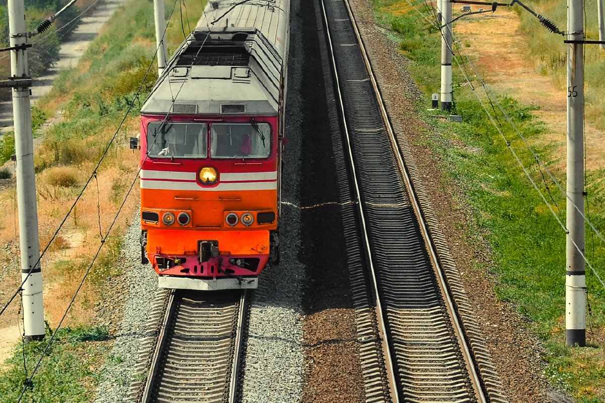
Rail Connectivity
Suburban Railways: Panvel Junction acts as the major rail hub connecting Central, Harbour, and Trans-Harbour lines. The Mumbai–Ahmedabad & Mumbai–Pune rail corridors enhance regional connectivity. The upcoming Panvel-Karjat & Nerul–Uran suburban railway line will boost access for NAINA MUMBAI -3.0 areas. Future Mumbai–Hyderabad, Panvel Karjat Local train & Mumbai–Bengaluru bullet train corridors add long-term value.
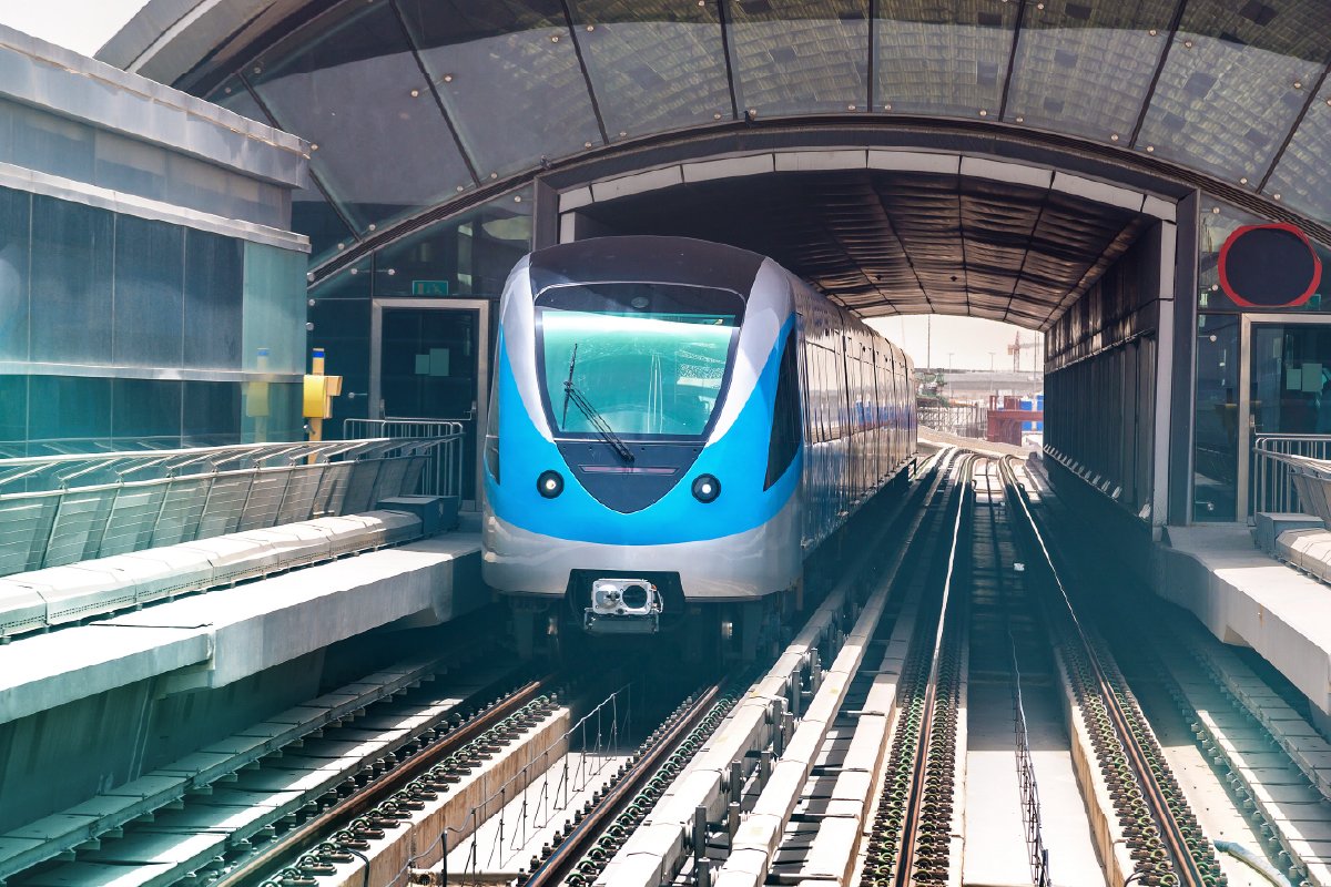
Metro Connectivity
Navi Mumbai Metro (Line 1, Belapur–Pendhar): Operational, improving Panvel–Taloja–Kharghar connections. Future extensions will integrate with the Mumbai Metro network, enhancing seamless travel.
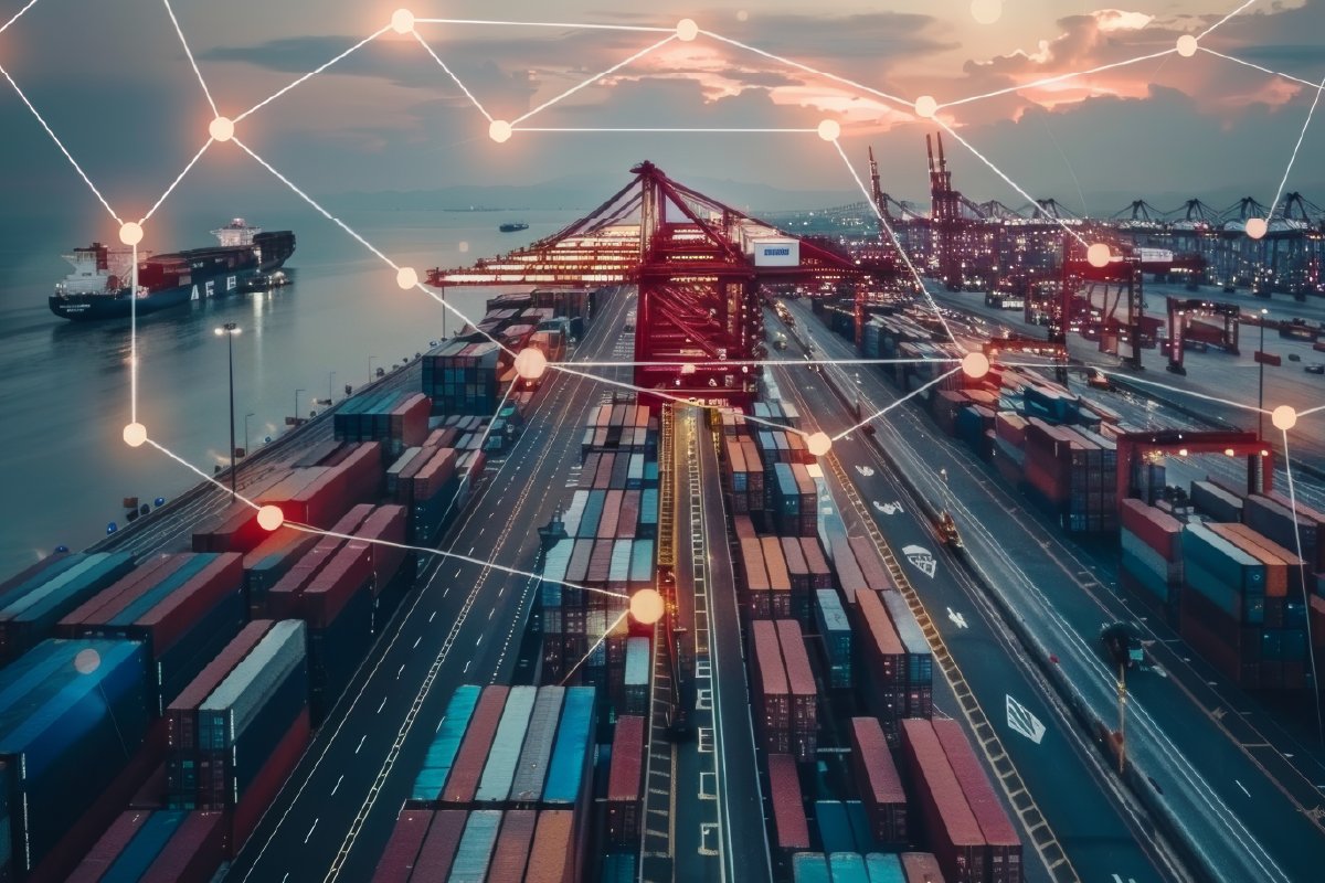
Port Connectivity
Proximity to JNPT (Jawaharlal Nehru Port Trust)-India’s largest container port. Boosts industrial, warehousing and logistics potential in NAINA (MUMBAI -3.0). (We need images also to get public proper idea.)
What is a TPS in NAINA ?
A TPS is a land-pooling model where:
- Landowners contribute their land into a common pool.
- CIDCO designs a modern urban layout.
- Roads, drainage, utilities, and public amenities are carved out.
40% of the original land is returned to landowners as “Developed Plots.”
The remaining 60% is used for Infrastucture Growth centre and Public facilities.
TPS is the backbone of NAINA’s planned city model.
What TPS Provides
Each TPS includes:
- 15m–60m wide roads
- Water, Sewage, Electricity, Telecom
- Stormwater Drainage
- Gardens and Playgrounds
- Public Amenities
- Commercial/mixed-use corridors
- Residential Sectors
- Industrial/logistics pockets (in some TPS)
Each TPS includes:
- 115m–60m wide roads
- Water, Sewage, Electricity, Telecom
- Stormwater Drainage
- Gardens and Playgrounds
- Public Amenities
- Commercial/mixed-use corridors
- Residential Sectors
- Industrial/logistics pockets (in some TPS)